§ 01
HOW SUPPORT WORKS
We scope support around real work, not generic tiers.
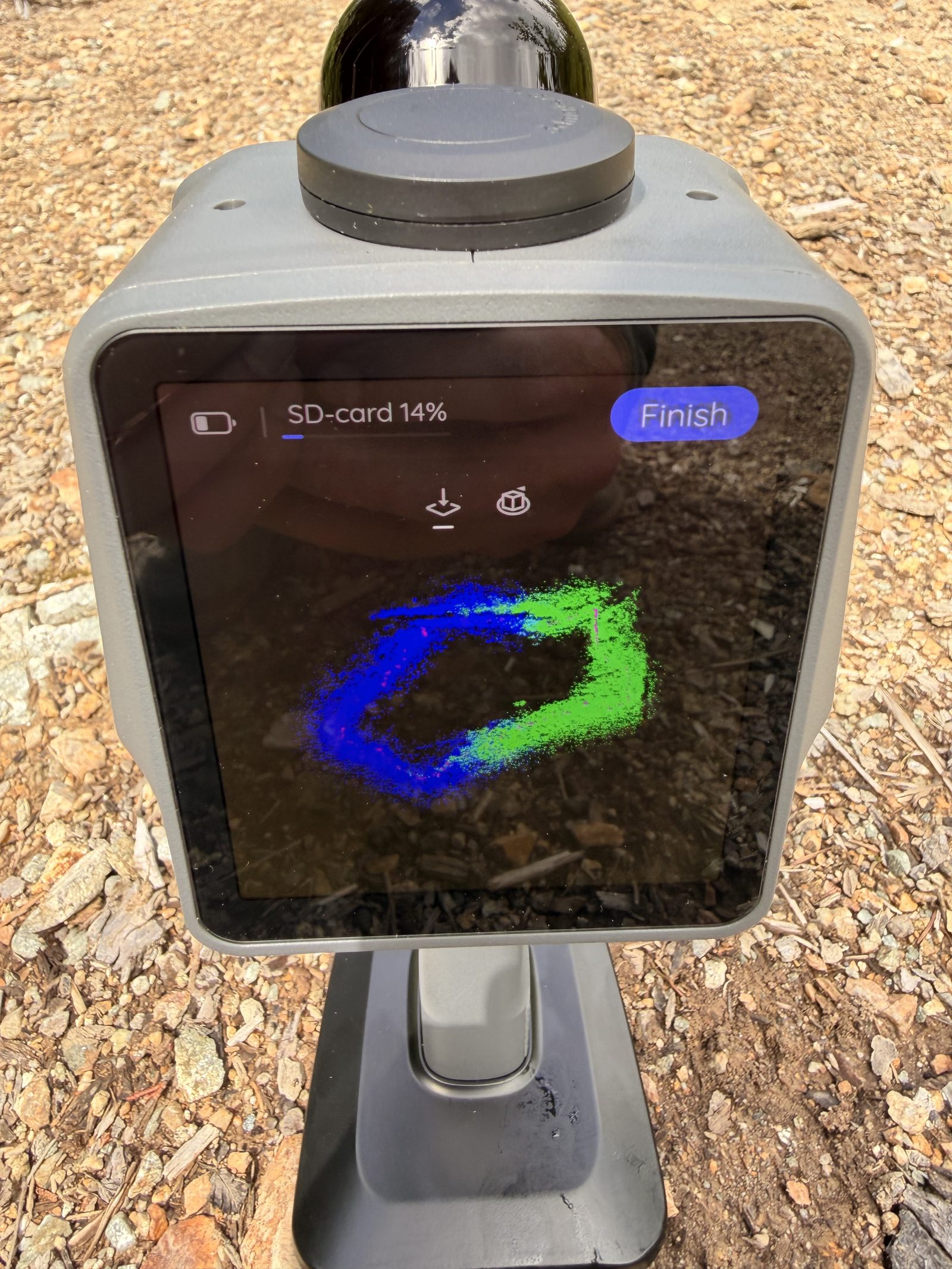
Every project starts with a site, a steward, a question, and a deadline. Support can cover field capture, processing time, public hosting, field calibration, or access work that makes the record usable by the public.
Write to info@oldgrowth.xyz with the site, timeline, and kind of support you have in mind. We will reply with a plain-language scope and next steps.
§ 02
CURRENT NEEDS
PROJECT SUPPORT
Help scope a specific at-risk block, field season, or public-interest data release.
Best for anyone who wants to support a defined scan.
IN-KIND EQUIPMENT
Loan sensors, compute, storage, field vehicles, batteries, safety equipment, or venue space.
Best for technical teams and local operators with resources that reduce field costs.
DATA INFRASTRUCTURE
Support hosting, processing, public point-cloud access, and long-term archive maintenance.
Best for groups interested in open environmental data and defensible public records.
The work that needs backing now.
- ▸SLAM LiDAR field days for blocks under active referral
- ▸Storage and bandwidth for Potree point cloud viewers
- ▸TreeLearn processing runs and manual QA for large block scans
- ▸Ground-truth field days for DBH tape, species checks, and core sampling